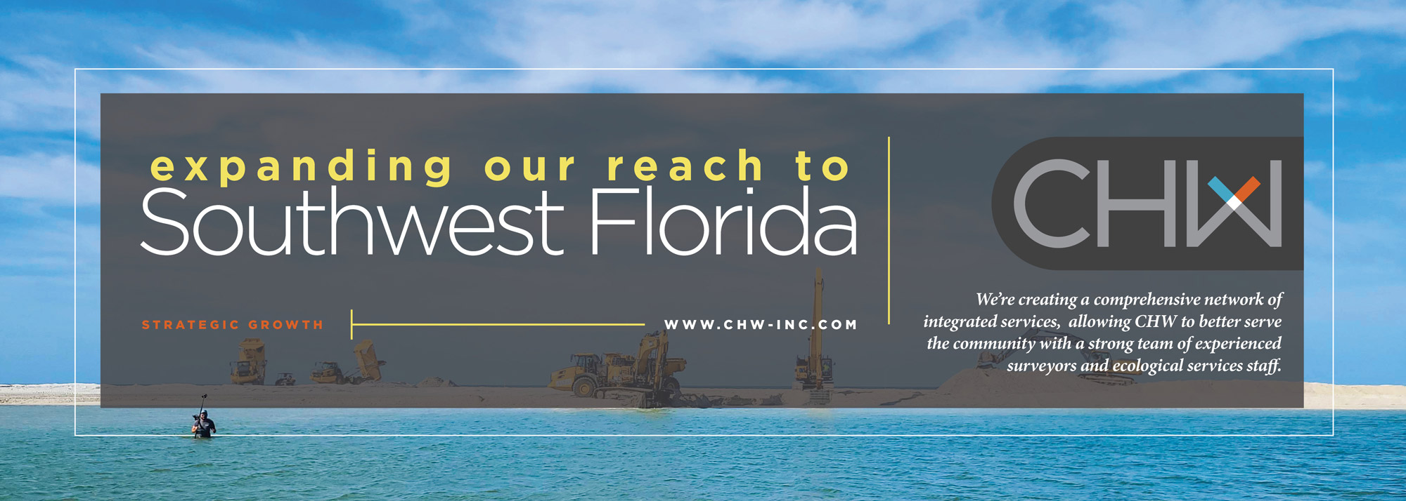
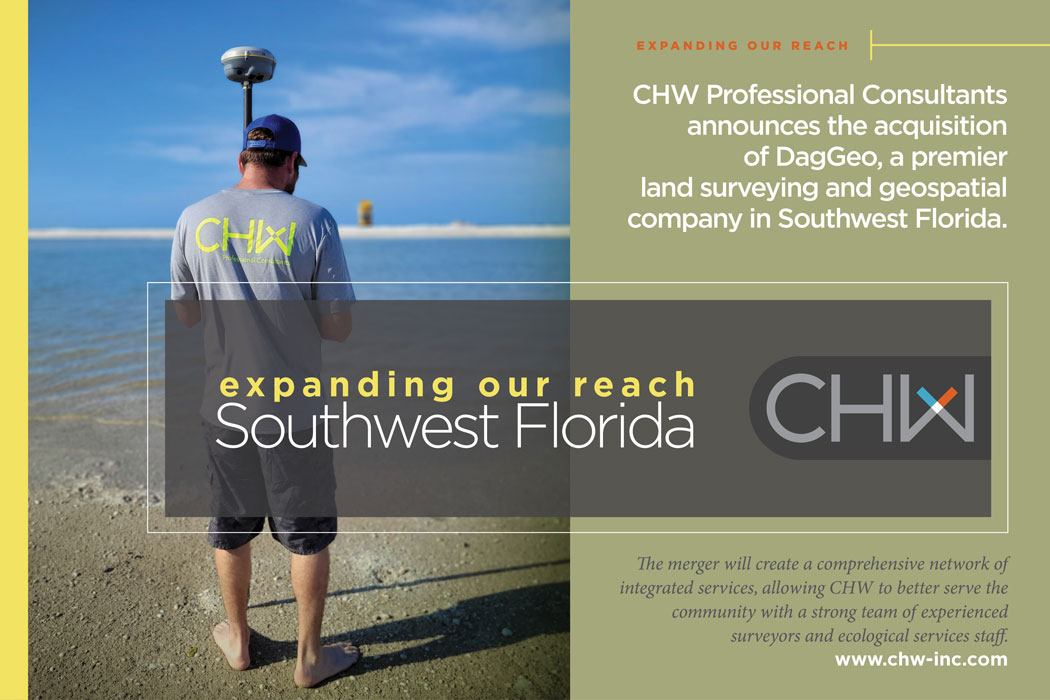
Gainesville, Ocala, Jacksonville, Fort Myers, FL– CHW Professional Consultants, a leading planning, ecological, surveying, engineering, landscape architecture, and construction services firm is pleased to announce its expanded presence in Florida’s Southwest region with the acquisition of Dagostino Geospatial, Inc.
The CHW and DagGeo expansion will create a comprehensive network of integrated services, allowing CHW to better serve the community by unifying with a strong team of experienced surveyors and ecological services staff in Southwest, Florida. This will include everything from boundary and topographic surveys to wetland and habitat assessments, which will be of great benefit to clients who are planning infrastructure projects, commercial development, and residential construction.
“This acquisition is a significant step in our mission to provide multi-disciplinary, high-quality professional consulting services to our clients in the Southwest Florida area.” said Robert J. Walpole, CEO/President of CHW.” By combining the expertise of CHW and DagGeo, we will be able to offer a wider range of services that further strengthen our impact on Florida’s infrastructure. Additionally, we are thrilled to welcome David Dagostino and the DagGeo team. Their 25+ years of expertise and experience in the land surveying and geospatial industry will be invaluable as we move forward and continue to grow across Florida.”
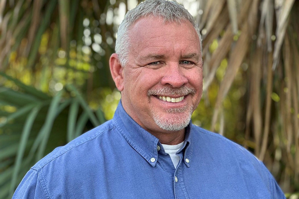
“We are excited to join forces with CHW and bring our expertise to the table,” said Dave Dagostino, PSM, CHW Shareholder and Vice President. CHW and DagGeo share a commitment to quality and collaboration. Their culture, projects, and skills seamlessly integrate with ours.”
About CHW
Founded in 1988, CHW Professional Consultants is a multi-disciplinary firm providing civil engineering, land surveying, land development planning, ecological services, landscape architecture, transportation planning and traffic engineering, and construction services, to clients in the private and public sectors. CHW’s 100+ employees proudly collaborate with municipalities, state agencies, developers, landowners, utility companies, and industrial, healthcare, education, and nonprofit clients from project concept to completion, taking a customized approach to every project. CHW delivers world-class performance focused on creating effective, long-term partnerships with its clients.
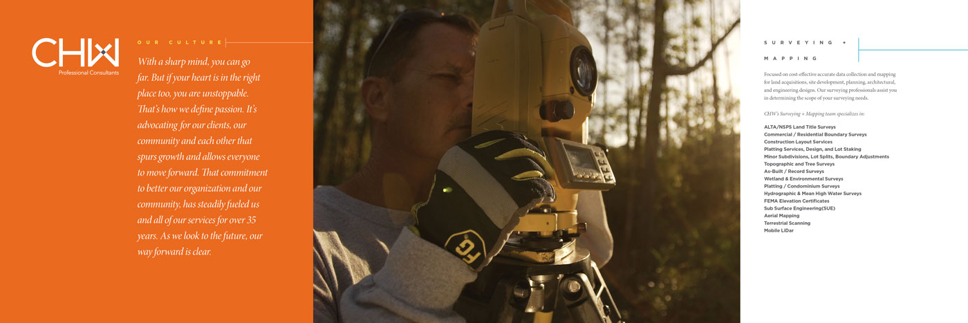
CHW’s Surveying + Mapping team remains focused on cost-effective accurate data collection and mapping for land acquisitions, site development, planning, architectural, and engineering designs. Our surveying professionals assist you in determining the scope of your surveying needs specializing in:
+ ALTA/NSPS Land Title Surveys
+ Commercial / Residential Boundary
+ Construction Layout Services
+ Platting Services, Design, and Lot Staking
+ Minor Subdivisions, Lot Splits, Boundary Line Adjustments
+ Topographic and Tree Surveys
+ As-Built / Record
+ Wetland & Environmental Surveys
+ Platting / Condominium Surveys
+ Hydrographic Surveys
+ FEMA Elevation Certificates
+ Subsurface Utility Locations
+ Aerial Mapping
+ 3D Scanning Systems
+ Terrestrial Scanning
+ Mobile LiDar
Office Address: 10981 Bonita Beach Rd SE, Bonita Springs, Florida 34135
Office Phone: (239) 352-6085